Published On Mar 3, 2022
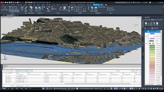
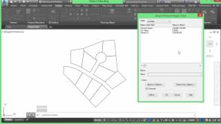
In this 30 min session, we look at several ways to work with GIS data using Civil 3D / Map 3D. This includes working with GIS geometry/data as DWG objects as well as connecting to GIS files directly.
For more Autodesk infrastructure Tips & Tricks, please visit the Civil Immersion Blog at https://civilimmersion.typepad.com
show more