Published On May 7, 2021
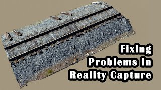
Short video about how to combine 2 point clouds and shift data from drone to reference coordinates from laser scanning and also align scale of photogrammetry point cloud
show more
Short video about how to combine 2 point clouds and shift data from drone to reference coordinates from laser scanning and also align scale of photogrammetry point cloud