Published On Oct 3, 2022
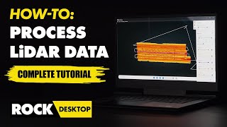
Collecting LiDAR data efficiently and accurately is important, but it's only half of the equation! Once you have your data, what do you do with it? How do you process? How do you ensure accuracy? Are tools available to help with the processing of LiDAR data? In this video Kory Kellum of Phoenix LiDAR Systems answers all those questions about processing LiDAR data and more! Kory gives us five simple steps to move from raw LiDAR data to a classified, colorized, point cloud!
00:00 - Introduction
00:15 - What we'll cover
00:30 - Overview of the 5 steps
00:45 - Trajectory post processing
01:46 - Point cloud generation
02:31 - Refining point cloud accuracy
03:25 - Colorization
04:03 - Classification
04:52 - What you can do with the data
05:13 - Recap
#lidar #dronemapping #pointcloud
Follow Us On Social Media:
➡ LinkedIn: / phoenixlidar
➡ Instagram: https://www.instagram.com/?hl=en
➡ Facebook: / phoenixlidarsystems
➡Twitter: https://twitter.com/phoenixlidar?lang=en
Learn More:
➡ Visit Our Website: https://www.phoenixlidar.com/
➡ Request More Information: https://www.phoenixlidar.com/request-...
➡ Contact Us: [email protected]
Be sure to like, share, and subscribe! Leave us a comment below to let us know what you want to learn next.