Published On May 9, 2022
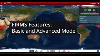
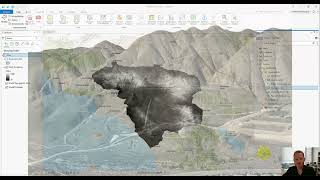
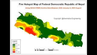
This demo is intended to familiarize users with accessing wildfire-related datasets from NASA and other partner agency sources. Users will learn to access data from NASA Earthdata Search, NASA AppEEARS, and the Living Atlas of the World. Then, users will import all data into QGIS and perform operations to make the data "Science Ready." Finally, several next step science scenarios are discussed, putting the power of investigation in the user's hands.
show more