Published On Oct 18, 2019
Learn AutoCAD for free using this step-by-step AutoCAD tutorial series containing nearly 40 videos with lesson files https://sourcecad.com/courses/autocad...
In this video I have explained the following topics:
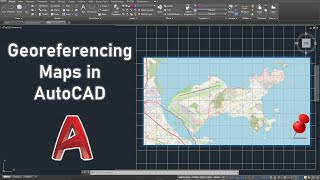
1. Using geolocation to Insert maps
2. Changing map type to aerial and street
3. Checking distances in the map
4. Making drawing using the map as an underlay
show more