Published On Aug 9, 2023
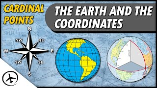
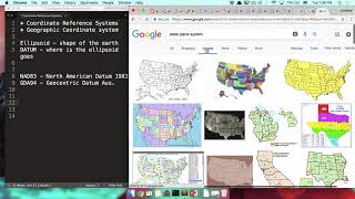
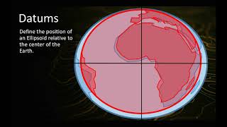
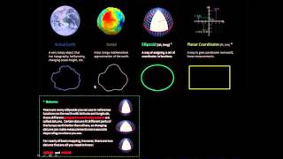
The video is the first of three videos about map projections and coordinate systems. This first video tells about the shape of the world and the main problem of map projection, that you cannot unfold a double curved 3D surface. The main earth models sphere, ellipsoid and geoid are introduced and the two latter when explaining where the map's x, y, and z - coordinates come from. Further, datum or geodetic reference system as well as common ellipsoids (WGS 84 and ETRS84) is presented, as is the main characteristics with the geographical coordinate systems and its formats Degrees-Minutes-Seconds (DMS) and Decimal Degrees (DD).
show more