Published On Sep 14, 2023
On September 13, 2023, COEX Digital (Calina Olari and I) gave an introduction to LiDAR scanning and drone photogrammetry to students at Vanier College for their Architectural Survey class.
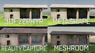
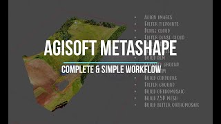
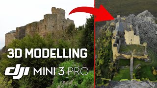
In this video, we are going over the basic steps towards creating a 3D reconstruction from a set of 38 photos. We also show how to use markers, scale bars, how to export, and others.
show more